If you have groundwater wells, you have challenges
We’re building the solution
Equipment, pumps, energy, regulations, production issues…
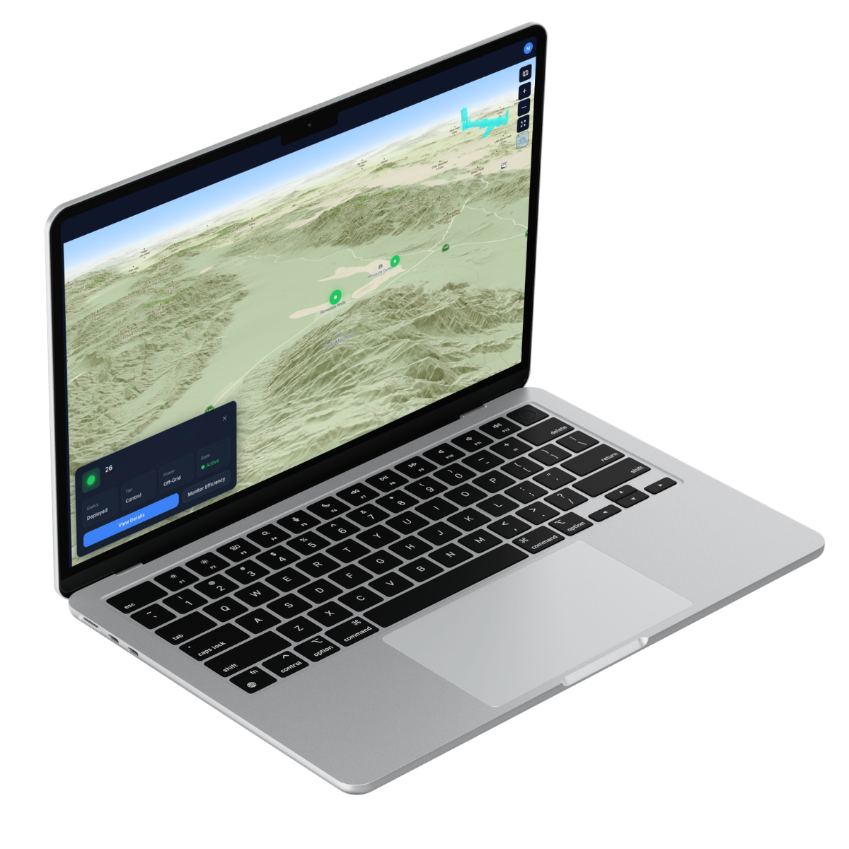
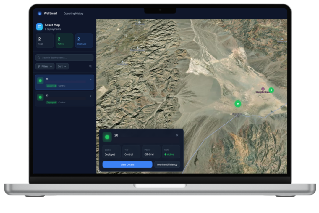
WellSmart tells you exactly what’s going on and what to do about it.
No more guessing—just real-time, adaptive insights to inform your decisions and solve your problems as they happen.
Most platforms just show you data.
We’re building a groundwater intelligence platform with and for industry veterans and operators.

-
"We're happy you're here—WellSmart is solving our monitoring and reporting issues."
Water Agency Client with Numerous Remote Groundwater Wells
This is an invitation
If you’re a driller, consultant, oversee groundwater wells, or manage dewatering operations, we want to hear from you.
Join us as we build an intuitive groundwater intelligence platform that actually helps you accurately identify and solve challenges.
Coming Soon
Get launch news + WellSmart updates
We’ll be in touch with early access, launch news, and a look at what’s coming as it happens.